
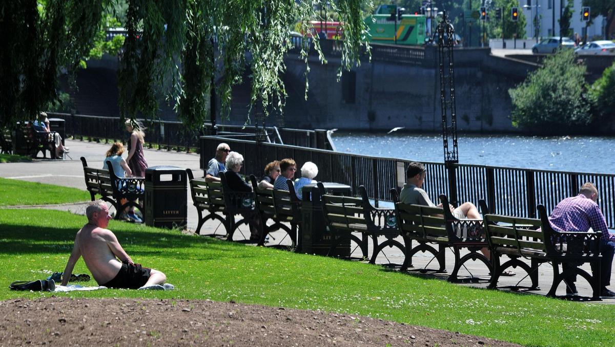
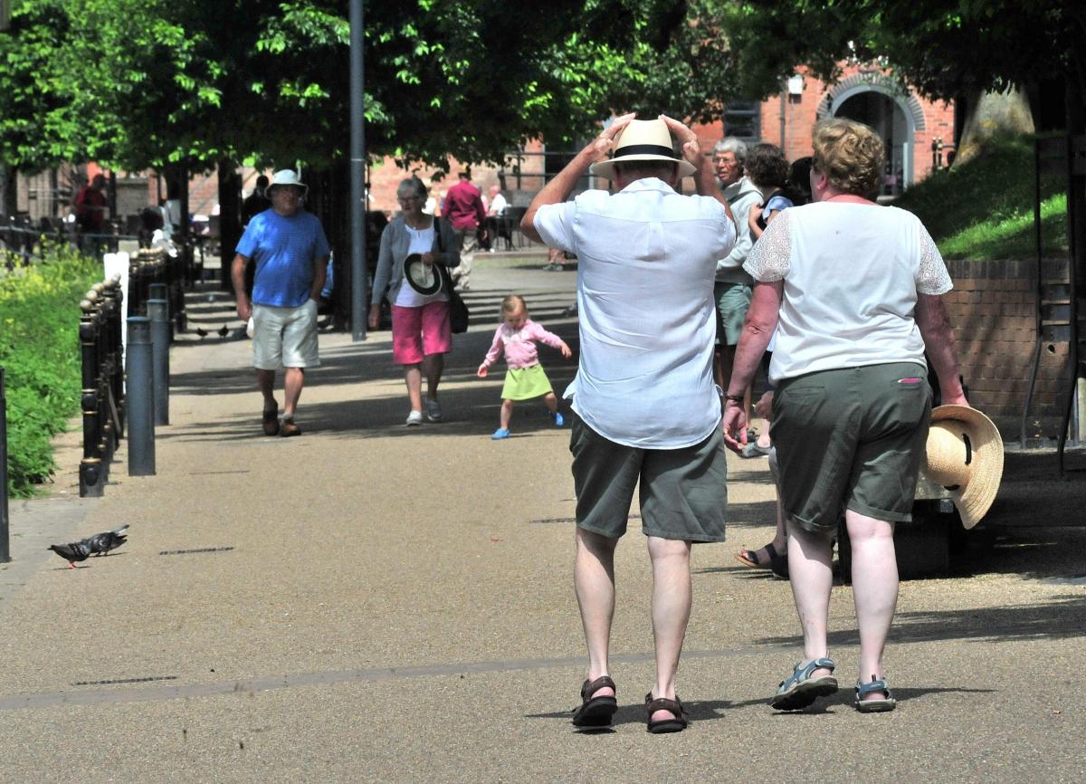

Shorts and t-shirts will be the dress code for the next few days as warm weather is set to arrive.
Temperatures are set to rise into the mid-20s this week as a high-pressure air mass hovers to the west of the country, clearing the skies for bright sunshine.
After weekend temperatures hovered around the 20-degree mark, the mercury is set to rise as the week goes on, with the Met Office predicting highs of 25 degrees today, 26 degrees tomorrow, 25 on Wednesday and 27 on Thursday.
Weather watcher Frank Hill of Malvern said: “Temperatures of this sort are not at all unusual for the end of June, but we have been having it a bit colder than usual because of north/north-westerly winds that have been keeping the temperature down.
“There is a high-pressure air mass to the west of Ireland that is close enough to us to deflect the northerly winds that have been keeping the temperature down.
“It’s not such good news for gardeners and farmers though, because we’ve had a long dry spell with no rain.
“They are not going to be happy about the prospect of another warm spell without some rain.”
But ice-cream vendors and the management of pubs and bars with beer gardens or other outside seating areas will likely be celebrating the prospect of several days of ‘proper summer’.
With the high temperatures and goods spells of sunshine, UV levels will be high and those enjoying the sun should remember to protect against sunburn.
As well as warm days in many areas, night-time temperatures could also be above average giving us some warm, muggy nights potentially making it difficult to sleep.
The highest temperature recorded in the UK so far this year is 25.8 at Gravesend and Faversham on May 16.


Comments: Our rules
We want our comments to be a lively and valuable part of our community - a place where readers can debate and engage with the most important local issues. The ability to comment on our stories is a privilege, not a right, however, and that privilege may be withdrawn if it is abused or misused.
Please report any comments that break our rules.
Read the rules hereLast Updated:
Report this comment Cancel